Image:LocationNorthAmerica.png
From Wikipedia, the free encyclopedia
Size of this preview: 640 × 326 pixels
Full resolution (2,759 × 1,404 pixels, file size: 43 KB, MIME type: image/png)
| |
This is a file from the Wikimedia Commons. The description on its description page there is shown below. |
| Description |
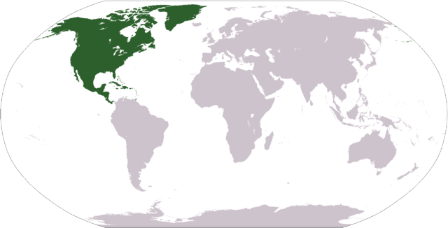
English: World map depicting North America south america europe
|
|---|---|
| Source |
own work - map adapted from PDF world map at CIA World Fact Book |
| Date |
2005.05.27 |
| Author |
Dado |
| Permission ( Reusing this image) |
see below
|
 |
This image is in the public domain because it contains materials that originally came from the United States Central Intelligence Agency's World Factbook. Deutsch | English | Español | Français | 日本語 | Nederlands | 한국어 | Português | தமிழ் | Magyar | +/- |
 |
File history
Click on a date/time to view the file as it appeared at that time.
| Date/Time | Dimensions | User | Comment | |
|---|---|---|---|---|
| current | 12:40, 19 January 2008 | 2,759×1,404 (43 KB) | F l a n k e r | (Transparency) |
| 02:26, 19 July 2007 | 2,759×1,404 (43 KB) | CurranH | (upload new, transparent version) | |
| 04:49, 10 September 2006 | 2,759×1,404 (55 KB) | Cogito ergo sumo | (World map: North America (location)) | |
| 04:40, 22 January 2006 | 2,759×1,404 (55 KB) | E Pluribus Anthony | (Reverted to earlier revision) | |
| 22:37, 15 January 2006 | 2,759×1,404 (84 KB) | Huhsunqu | ||
| 01:00, 8 October 2005 | 2,759×1,404 (55 KB) | E Pluribus Anthony | (World map: North America (location)) | |
| 04:11, 27 May 2005 | 2,759×1,404 (74 KB) | Dado | (Revised location map to show North America) |
File links
The following pages on Schools Wikipedia link to this image (list may be incomplete):