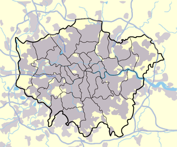
Image:Greater london outline map bw.png
From Wikipedia, the free encyclopedia

Size of this preview: 576 × 480 pixels
Full resolution (600 × 500 pixels, file size: 199 KB, MIME type: image/png)
File history
Click on a date/time to view the file as it appeared at that time.
| Date/Time | Dimensions | User | Comment | |
|---|---|---|---|---|
| current | 17:13, 11 March 2008 | 600×500 (199 KB) | Jhamez84 | (slight alteration making the boundaries clearer between Newham and Barking and Dagenham - Ealing and Hounslow - and City of London and the City of Westminster) |
| 19:40, 31 March 2007 | 600×500 (217 KB) | DavidCane | ||
| 14:33, 19 March 2007 | 600×500 (512 KB) | Jhamez84 | (minor colour correction) | |
| 14:30, 19 March 2007 | 600×500 (512 KB) | Jhamez84 | (yellowed white backdrop and altered blue of water bodies inline with UK mapping) | |
| 11:16, 15 March 2007 | 600×500 (552 KB) | Jhamez84 | (Corrected some issues with Motorways and borough boundaries. ) | |
| 19:22, 25 February 2007 | 600×500 (476 KB) | Jhamez84 | (Map of Greater London and area. Self made and released to public domain.) | |
| 18:09, 18 November 2006 | 600×500 (21 KB) | Dtcdthingy | ( Image:Greater_london_outline_map.png with toned down colour scheme. Originally by User:ChrisO.) |
File links
The following file is a duplicate of this file:
The following pages on Schools Wikipedia link to this image (list may be incomplete):
