Image:SouthAfrica-location.png
From Wikipedia, the free encyclopedia
Size of this preview: 627 × 480 pixels
Full resolution (2,418 × 1,851 pixels, file size: 42 KB, MIME type: image/png)
| |
This is a file from the Wikimedia Commons. The description on its description page there is shown below. |
Summary
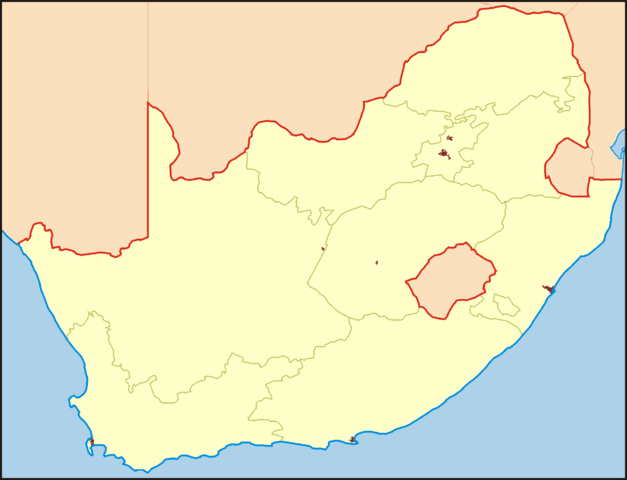
Карта ЮАР в нужной проекции для Шаблон:ПозКарта, обрезанная ровно по линиям градусов (16° – 33° в.д., 22° – 35° ю.ш.).
Map of South Africa, in the equirectangular projection (equidistant cylindrical projection, or plate carrée), for Template:Location map. Cropped by 1 degree lines (16° – 33° E, 22° – 35° S).
| Description |
for Template:Location map |
|---|---|
| Source |
self-made |
| Date |
December 2007 |
| Author |
Koryakov Yuri |
| Permission ( Reusing this image) |
see below
|
Licensing
|

File history
Click on a date/time to view the file as it appeared at that time.
| Date/Time | Dimensions | User | Comment | |
|---|---|---|---|---|
| current | 22:16, 3 December 2007 | 2,418×1,851 (42 KB) | Koryakov Yuri | (== Summary == Карта ЮАР в нужной проекции для Шаблон:ПозКарта, обрезанная ровно по линиям градусов (16° – 33° в.д., 22° – ) |