Image:Tunisia blank map with governates.png
From Wikipedia, the free encyclopedia
Size of this preview: 221 × 480 pixels
Full resolution (300 × 651 pixels, file size: 55 KB, MIME type: image/png)
| |
This is a file from the Wikimedia Commons. The description on its description page there is shown below. |
Summary
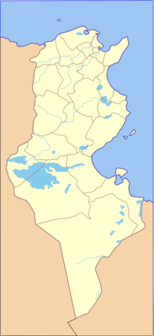
| Description |
Blank map of Tunisia with governates and rivers. |
|---|---|
| Source |
Based on Image:Governorates of Tunisia blank.svg by User:Jarke, with rivers from Image:Tunisia_location_map.svg by Hubert Śmietanka, both GFDL/CC-by-SA, and neighbouring borders traced from Image:Tunisia map-EN.png (CIA World Factbook) |
| Date |
2007-10-11 |
| Author |
Jheald |
| Permission ( Reusing this image) |
see below
|
Licensing
|

File history
Click on a date/time to view the file as it appeared at that time.
| Date/Time | Dimensions | User | Comment | |
|---|---|---|---|---|
| current | 11:44, 11 October 2007 | 300×651 (55 KB) | Jheald | |
| 09:48, 11 October 2007 | 300×651 (57 KB) | Jheald | ({{Information |Description=Blank map of Tunisia with governates and rivers. |Source=Based on Image:Governorates of Tunisia blank.svg by User:Jarke, with rivers from Image:Tunisia_location_map.svg by Hubert Śmietanka, both GF) |