Image:Mendip Hills Map.png
From Wikipedia, the free encyclopedia
Size of this preview: 640 × 376 pixels
Full resolution (2,512 × 1,476 pixels, file size: 1.3 MB, MIME type: image/png)
| |
This is a file from the Wikimedia Commons. The description on its description page there is shown below. |
Summary
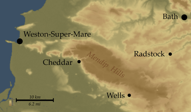
| Description |
Map of Mendip Hills, England |
|---|---|
| Source |
Topo data from NASA SRTM, PD |
| Date |
12-03-07 |
| Author |
Myself |
| Permission ( Reusing this image) |
see below
|
Licensing
|
File history
Click on a date/time to view the file as it appeared at that time.
| Date/Time | Dimensions | User | Comment | |
|---|---|---|---|---|
| current | 21:29, 12 March 2007 | 2,512×1,476 (1.3 MB) | SFC9394 | ({{Information |Description= Map of Mendip Hills, England |Source=Topo data from NASA SRTM, PD |Date=12-03-07 |Author=Myself |Permission= |other_versions= }}) |
File links
The following pages on Schools Wikipedia link to this image (list may be incomplete):