Image:Mauritanie-map-blank.png
From Wikipedia, the free encyclopedia
No higher resolution available.
Mauritanie-map-blank.png (329 × 353 pixels, file size: 8 KB, MIME type: image/png)
| |
This is a file from the Wikimedia Commons. The description on its description page there is shown below. |
| Description |
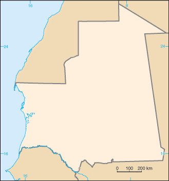
Blanked map of Mauritanie |
|---|---|
| Source |
image:Mauritanie_carte.gif |
| Date |
20:17, 15 October 2007 (UTC) |
| Author |
CIA / Bemoeial2 |
| Permission ( Reusing this image) |
PD
|
 |
This image is in the public domain because it contains materials that originally came from the United States Central Intelligence Agency's World Factbook. Deutsch | English | Español | Français | 日本語 | Nederlands | 한국어 | Português | தமிழ் | Magyar | +/- |
 |
File history
Click on a date/time to view the file as it appeared at that time.
| Date/Time | Dimensions | User | Comment | |
|---|---|---|---|---|
| current | 20:17, 15 October 2007 | 329×353 (8 KB) | Bemoeial2 | ({{Information |Description=Blanked map of Mauretanie |Source= image:Mauritanie_carte.gif |Date=~~~~~ |Author=CIA / ~~~ |Permission=PD |other_versions= }} {{CIA-map}} Category:Maps of Mauritania) |
File links
The following pages on Schools Wikipedia link to this image (list may be incomplete):