Image:Lower yangtze 3.png
From Wikipedia, the free encyclopedia
Size of this preview: 640 × 293 pixels
Full resolution (1,440 × 660 pixels, file size: 180 KB, MIME type: image/png)
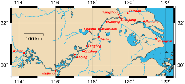
This is modified version of Image:Lower yangtze 2.png. It shows a smaller region and has been optimized for readability of the city names. Also, the decimal coordinates for Nanjing have been changed: has been translated into the decimal coordinates 32.05, 118.7833. This map was generated using the Generic Mapping Tools (GMT).
External Link
| |
Permission is granted to copy, distribute and/or modify this document under the terms of the GNU Free Documentation License, Version 1.2 or any later version published by the Free Software Foundation; with no Invariant Sections, no Front-Cover Texts, and no Back-Cover Texts. Subject to disclaimers. |
File history
Click on a date/time to view the file as it appeared at that time.
| Date/Time | Dimensions | User | Comment | |
|---|---|---|---|---|
| current | 10:17, 27 March 2005 | 1,440×660 (180 KB) | Rolfmueller ( Talk | contribs) | (This is modified version of Image:Lower yangtze 2.png. It shows a smaller region and has been optimized for readability of the city names. Also, the decimal coordinates for Nanjing have been changed: 3 minutes of arc is 0.05 not 0.005. {{GFDL}}) |
See the setup instructions for more information.
File links
The following file is a duplicate of this file:
The following pages on Schools Wikipedia link to this image (list may be incomplete):