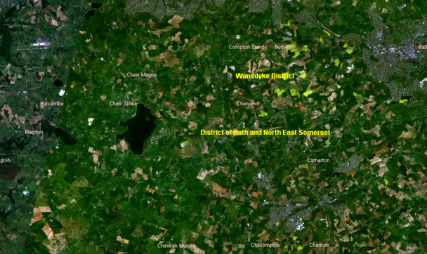
Image:ReducedChew valley area satellite.png
From Wikipedia, the free encyclopedia

No higher resolution available.
ReducedChew_valley_area_satellite.png (608 × 362 pixels, file size: 550 KB, MIME type: image/png)
Summary
Cropped Chew Valley from Image:Chew valley area satellite.png one uploaded by Astrokey44 - Which is a screenshot using NASA's world wind program
Licensing
File history
Click on a date/time to view the file as it appeared at that time.
| Date/Time | Dimensions | User | Comment | |
|---|---|---|---|---|
| current | 18:32, 24 March 2006 | 608×362 (550 KB) | Rodw ( Talk | contribs) | (Cropped Chew Valley from one uploaded by Astrokey44) |
See the setup instructions for more information.
File links
The following pages on Schools Wikipedia link to this image (list may be incomplete):
Categories: NASA images
