Image:Côte d'Ivoire Map.jpg
From Wikipedia, the free encyclopedia
Size of this preview: 376 × 480 pixels
Full resolution (1,036 × 1,322 pixels, file size: 440 KB, MIME type: image/jpeg)
| |
This is a file from the Wikimedia Commons. The description on its description page there is shown below. |
| Description |
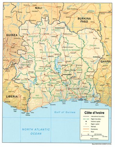
English: haded relief map of Côte d'Ivoire.
|
|||
|---|---|---|---|---|
| Source |
from the Perry-Castañeda Library Map Collection. |
|||
| Date |
2004 |
|||
| Author |
CIA |
|||
| Permission ( Reusing this image) |
|


File history
Click on a date/time to view the file as it appeared at that time.
| Date/Time | Dimensions | User | Comment | |
|---|---|---|---|---|
| current | 11:11, 21 February 2006 | 1,036×1,322 (440 KB) | Lupo | (Shaded relief map of Côte d'Ivoire. Source: [http://www.lib.utexas.edu/maps/africa/cote_divoire_rel04.jpg] from the [http://www.lib.utexas.edu/maps/cote_d'ivoire.html Perry-Castañeda Library Map Collection]. {{PD-USGov-CIA}} [[Category:Maps of C\xC3) |
File links
The following pages on Schools Wikipedia link to this image (list may be incomplete):
Metadata
This file contains additional information, probably added from the digital camera or scanner used to create or digitize it. If the file has been modified from its original state, some details may not fully reflect the modified file.
| Orientation | Normal |
|---|---|
| Horizontal resolution | 150 dpi |
| Vertical resolution | 150 dpi |
| Software used | Adobe Photoshop 7.0 |
| File change date and time | 15:33, 27 September 2004 |
| Colour space | 65535 |