Image:BlankMapTurkeyProvinces.png
From Wikipedia, the free encyclopedia
Size of this preview: 640 × 313 pixels
Full resolution (1,024 × 500 pixels, file size: 23 KB, MIME type: image/png)
| |
This is a file from the Wikimedia Commons. The description on its description page there is shown below. |
| Description |
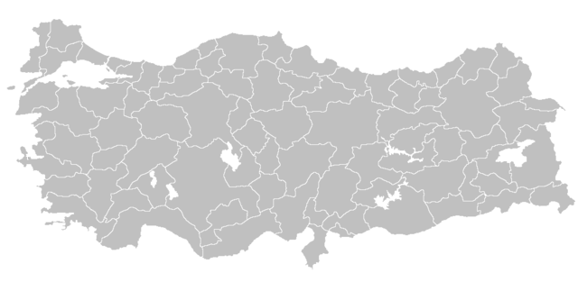
Blank map of Republic of Turkey's provinces. The regions are carefully separated on per pixel basis and ready for filling in with a paint tool. |
|---|---|
| Source |
Self drawn from scratch, based on data from official Turkish motorway network map |
| Date |
December 21, 2006 |
| Author |
Atilim Gunes Baydin |
| Permission ( Reusing this image) |
I grant permission for anyone to use this under the terms of GFDL license, see below
|
Licensing
|

File history
Click on a date/time to view the file as it appeared at that time.
| Date/Time | Dimensions | User | Comment | |
|---|---|---|---|---|
| current | 22:14, 18 February 2007 | 1,024×500 (23 KB) | AtilimGunesBaydin | (Removed Samothraki, which was accidentally included. I'm sorry for the mistake.) |
| 16:46, 22 December 2006 | 1,024×500 (23 KB) | AtilimGunesBaydin | (Slight resize.) | |
| 21:51, 21 December 2006 | 1,024×499 (23 KB) | AtilimGunesBaydin | ({{Information |Description=Blank map of Republic of Turkey's provinces |Source=Drawn from scratch on based on data from [http://www.kgm.gov.tr/images/trkh-yeni1.jpg official Turkish motorway network map] |Date=December 21, 2006 |Author=[[:e) |