Image:Mexico states map small.png
From Wikipedia, the free encyclopedia
No higher resolution available.
Mexico_states_map_small.png (450 × 312 pixels, file size: 72 KB, MIME type: image/png)
Licensing
 |
I, the copyright holder of this work, hereby release it into the public domain. This applies worldwide. In case this is not legally possible, |
|
|
The Wikimedia Commons has another file with the same name as this file. To include the Commons media file in Wikipedia, this locally stored file needs to be renamed. | |
File history
Click on a date/time to view the file as it appeared at that time.
| Date/Time | Dimensions | User | Comment | |
|---|---|---|---|---|
| current | 04:55, 28 September 2007 | 450×312 (72 KB) | AlexCovarrubias ( Talk | contribs) | (Changed border colour (same used by Wikipedia thumbs)) |
| revert | 04:52, 28 September 2007 | 450×312 (72 KB) | AlexCovarrubias ( Talk | contribs) | (Rounded borders) |
| revert | 17:35, 16 March 2007 | 450×312 (64 KB) | AlexCovarrubias ( Talk | contribs) | |
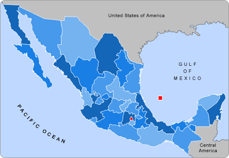
| revert | 17:28, 16 March 2007 | 450×312 (67 KB) | AlexCovarrubias ( Talk | contribs) | (== Summary == Political division of Mexico. Map created for the Template:Mexico Labelled Map small. Designed by Alex Covarrubias == Licensing == {{PD-self}} ) |
See the setup instructions for more information.
File links
The following pages on Schools Wikipedia link to this image (list may be incomplete):
Categories: User-created public domain images