Image:Montenegro1913.png
From Wikipedia, the free encyclopedia
Size of this preview: 451 × 480 pixels
Full resolution (805 × 856 pixels, file size: 24 KB, MIME type: image/png)
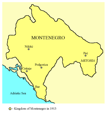
historic map (self made)
 |
I, the copyright holder of this work, hereby release it into the public domain. This applies worldwide. In case this is not legally possible, |
|
|
The Wikimedia Commons has another file with the same name as this file. To include the Commons media file in Wikipedia, this locally stored file needs to be renamed. | |
File history
Click on a date/time to view the file as it appeared at that time.
| Date/Time | Dimensions | User | Comment | |
|---|---|---|---|---|
| current | 21:17, 16 July 2006 | 805×856 (24 KB) | PANONIAN ( Talk | contribs) | (Reverted to earlier revision) |
| revert | 03:05, 10 June 2006 | 564×600 (70 KB) | CrnaGora ( Talk | contribs) | (Historical map of Kingdom of Montenegro in 1913, improvement to original made by PANONIAN. Self-made.) |
| revert | 14:41, 23 November 2005 | 805×856 (24 KB) | PANONIAN ( Talk | contribs) |
See the setup instructions for more information.
File links
The following pages on Schools Wikipedia link to this image (list may be incomplete):
Categories: User-created public domain images | Maps of the history of Montenegro