Image:USATopographicalMap.jpg
From Wikipedia, the free encyclopedia
Size of this preview: 640 × 422 pixels
Full resolution (3,199 × 2,107 pixels, file size: 450 KB, MIME type: image/jpeg)
Headline text
Summary
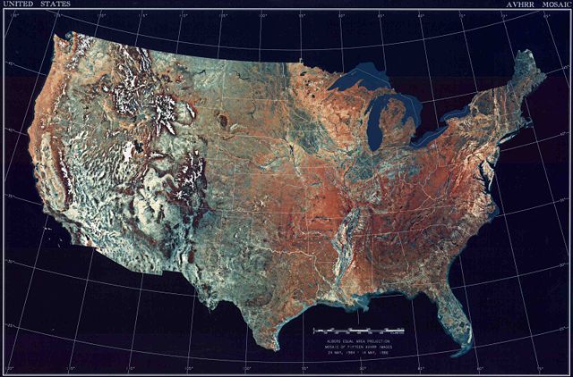
| Description | USA Topographical map of the United States |
|---|---|
| Source |
National Climactic Data Centre/NOAA Satellite and Information Service |
| Date |
February 4, 2008 |
| Author |
U.S. Dept. of Commerce/National Climactic Data Centre/NOAA Satellite and Information Service |
| Permission ( Reusing this image) |
See below. |
Licensing
 |
This work is in the public domain in the United States because it is a work of the United States Federal Government under the terms of Title 17, Chapter 1, Section 105 of the US Code. See Copyright. Note: This only applies to works of the Federal Government and not to the work of any individual U.S. state, territory, commonwealth, county, municipality, or any other subdivision. This template also does not apply to postage stamps published by the United States Postal Service after 1978. (See 206.02(b) of Compendium II: Copyright Office Practices). |
 |
Nyima rules
File history
Click on a date/time to view the file as it appeared at that time.
| Date/Time | Dimensions | User | Comment | |
|---|---|---|---|---|
| current | 04:39, 5 February 2008 | 3,199×2,107 (450 KB) | DCGeist ( Talk | contribs) | ({{Information |Description=Topographical map of the United States |Source=[http://www1.ncdc.noaa.gov/pub/data/images/usa-avhrr.gif National Climactic Data Centre/NOAA Satellite and Information Service] |Date=February 4, 2008 |Location= |Author=U.S. Dept. ) |
See the setup instructions for more information.
File links
The following pages on Schools Wikipedia link to this image (list may be incomplete):
Categories: United States government images