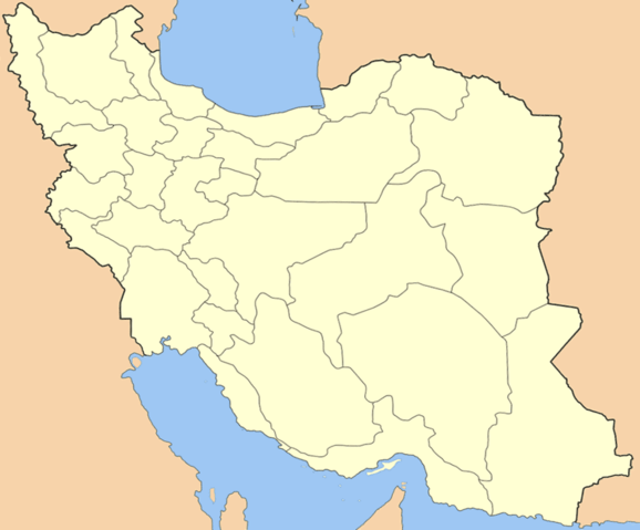
Image:New Iran locator.PNG
From Wikipedia, the free encyclopedia

Size of this preview: 578 × 479 pixels
Full resolution (1,024 × 849 pixels, file size: 59 KB, MIME type: image/png)
File history
Click on a date/time to view the file as it appeared at that time.
| Date/Time | Dimensions | User | Comment | |
|---|---|---|---|---|
| current | 16:29, 29 November 2007 | 1,024×849 (59 KB) | M samadi | ({{Information |Description=Map of Iran after correcting the en:South Khorasan Province Borders in Image:Iran locator.png. ( en:Ferdows County moved from en:Razavi Khorasan province to en:South Khorasan Province in March 2007) |Sourc) |
File links
The following pages on Schools Wikipedia link to this image (list may be incomplete):
