Image:Administrative map of Tehran.svg

From Wikipedia, the free encyclopedia
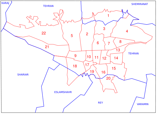
Administrative_map_of_Tehran.svg‎ (SVG file, nominally 743 × 540 pixels, file size: 36 KB)

Wikimedia Commons logo This is a file from the Wikimedia Commons. The description on its description page there is shown below.
Commons is a freely licensed media file repository. You can help.
Français : Divisions administratives de la ville de Téhéran. En bleu : Limites des Shahrestan (départements). En rouge : Limites des districts municipaux.
I, the copyright holder of this work, hereby publish it under the following license:
Some rights reserved
Creative Commons Attribution icon Creative Commons Share Alike icon
This file is licensed under the Creative Commons Attribution ShareAlike license versions 2.5, 2.0, and 1.0

العربية | Български | Català | Česky | Dansk | Deutsch | English | Español | Euskara | فارسی | Français | Galego | עברית | Italiano | 日本語 | 한국어 | Lietuvių | Nederlands | Polski | Português | Русский | Svenska | தமிழ் | తెలుగు | Türkçe | 中文 | 中文 | +/-


Note :
Image:Icons-flag-us.png Inspired by Atlas of Tehran, this map was made by Fabienkhan the 5th of february 2007 with Inkscape and GIMP. Red limits are Mantagheh (tehran metropolis administrative division) and blue limits are Shahrestan (counties).
Image:Icons-flag-fr.png Inspirée par l' atlas de Téhéran, cette carte à été conçue par Fabienkhan le 5 février 2007 à l'aide d' Inkscape et de GIMP. Limites de Mantagheh (divisions administrative en quartiers) en rouge, limites de Shahrestan (département) en bleu.
Description :
Image:Icons-flag-fr.png Divisions administratives de Téhéran en 1996
Image:Icons-flag-us.png Tehran Administrative divisions in 1996

File history

Click on a date/time to view the file as it appeared at that time.

Date/Time Dimensions User Comment
current 10:46, 9 February 2007 743×540 (36 KB) Fabienkhan
10:43, 9 February 2007 744×1,052 (36 KB) Fabienkhan
10:42, 9 February 2007 744×1,052 (36 KB) Fabienkhan (<div style="height:8px; border:1px solid #8898BF; -moz-border-radius-topleft:8px; -moz-border-radius-topright:8px; background:#C8D8FF; font-size:1px;"> </div> <div style="margin-bottom:1.5em; border:1px solid #8898BF; border-top:0; padding:5px; background)
The following pages on Schools Wikipedia link to this image (list may be incomplete):
The Schools Wikipedia is sponsored by SOS Children , and is a hand-chosen selection of article versions from the English Wikipedia edited only by deletion (see www.wikipedia.org for details of authors and sources). See also our Disclaimer.