Image:Pont Aven at Millbay.jpg
From Wikipedia, the free encyclopedia
Size of this preview: 640 × 464 pixels
Full resolution (1,280 × 928 pixels, file size: 179 KB, MIME type: image/jpeg)
| |
This is a file from the Wikimedia Commons. The description on its description page there is shown below. |
| Description |
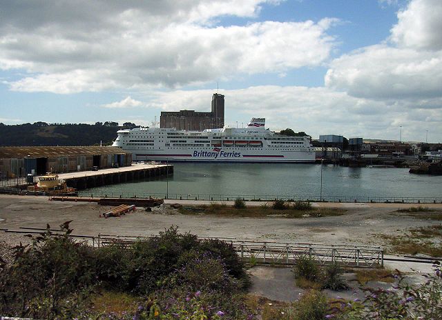
An open top ride around the edge of Millbay Docks in Plymouth for a few views inside this area, soon to be developed Fly to this location (Requires Google Earth) |
|---|---|
| Source |
Millbay-07 |
| Date |
August 11, 2006 at 11:57 |
| Author |
Graham Richardson from Plymouth, England |
| Permission ( Reusing this image) |
see below
|
| Camera location |
|
See this image at its location on Google Maps This location on: Live Maps - Trails.com - TerraServer-USA |
|---|
Licensing
| |
This file is licensed under Creative Commons Attribution 2.0 License |
 |
This image was originally posted to Flickr by didbygraham at http://flickr.com/photos/13232346@N00/212663561. It was reviewed on 00:17, 30 June 2008 (UTC) by FlickreviewR, and confirmed to be licensed under the terms of the cc-by-2.0. |
File history
Click on a date/time to view the file as it appeared at that time.
| Date/Time | Dimensions | User | Comment | |
|---|---|---|---|---|
| current | 18:42, 29 June 2008 | 1,280×928 (179 KB) | Bsrboy | ({{Information |Description= An open top ride around the edge of Millbay Docks in Plymouth for a few views inside this area, soon to be developed [http://www.roblog.com/flickrfly.kml Fly to this location] (Requires [http://earth.google.com Google Earth]) ) |
File links
The following pages on Schools Wikipedia link to this image (list may be incomplete):