Image:LocatieAmsterdam.svg
From Wikipedia, the free encyclopedia
LocatieAmsterdam.svg (SVG file, nominally 980 × 455 pixels, file size: 245 KB)
| |
This is a file from the Wikimedia Commons. The description on its description page there is shown below. |
Samenvatting
| Description |
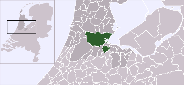
Locator map of municipality Amsterdam (NL) |
|---|---|
| Source |
Own work, based on freely available GIS data |
| Date |
2006-10-02 |
| Author |
User:Mtcv |
| Permission ( Reusing this image) |
Data: attribution required; my work: PD
|
Licensing
 |
The copyright holder of this file, [[: Centraal Bureau voor de Statistiek| Centraal Bureau voor de Statistiek]], allows anyone to use it for any purpose, provided that the copyright holder is properly attributed. Redistribution, derivative work, commercial use, and all other use is permitted. Aragonés | العربية | Български | Català | Dansk | Deutsch | Ελληνικά | English | Español | Español | Français | עברית | Magyar | Galego | Italiano | 日本語 | 한국어 | Kurdî / كوردی | Latviešu | Nederlands | Norsk (bokmål) | Polski | Português | Svenska | Türkçe | Русский | 中文(简体) | 中文(繁體) | +/- |
File history
Click on a date/time to view the file as it appeared at that time.
| Date/Time | Dimensions | User | Comment | |
|---|---|---|---|---|
| current | 12:07, 16 October 2006 | 980×455 (245 KB) | Gustavb | (Sized up with a viewBox) |
| 00:47, 2 October 2006 | 280×130 (246 KB) | Mtcv | ({{Information| |Description=Locator map of municipality Amsterdam (NL) |Source=Own work, based on freely available GIS data |Date=2006-10-02 |Author= User:Mtcv |Permission=Data: attribution required; my work: PD }}) |
File links
The following pages on Schools Wikipedia link to this image (list may be incomplete):