Image:Location map Sri Lanka.png
From Wikipedia, the free encyclopedia
Size of this preview: 339 × 479 pixels
Full resolution (424 × 599 pixels, file size: 56 KB, MIME type: image/png)
| |
This is a file from the Wikimedia Commons. The description on its description page there is shown below. |
Summary
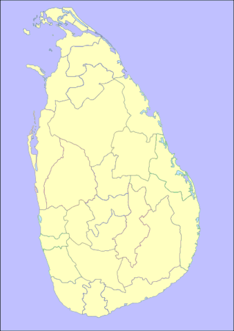
| Description |
Locator map for Sri Lanka. Based on Image:Gislanka locator.svg created by Regunathan Umapathy ( User:Umapathy), which is licenced under GDFL+CC-BY-2.5. using recolor of Image:Sri Lanka Locator.svg Coordinates Upper Lefthand Corner: 79d 21m 14.70s i.e 79.354083d Easting and 9d 55m 6.78s i.e. 9.918550d Northing Lower Righthand Corner: 82d 17m 34.86s i.e 82.293017d Easting and 5d 45 25.98s i.e 5.757217d Northing |
|---|---|
| Source |
self-made |
| Date |
July 29, 2007 |
| Author |
User:Ernst Stavro Blofeld |
| Permission ( Reusing this image) |
see below
|
Licensing
|

File history
Click on a date/time to view the file as it appeared at that time.
| Date/Time | Dimensions | User | Comment | |
|---|---|---|---|---|
| current | 20:27, 12 April 2008 | 424×599 (56 KB) | Ernst Stavro Blofeld | (== Summary == {{Information |Description=Locator map for Sri Lanka. Based on Image:Gislanka locator.svg created by Regunathan Umapathy ( User:Umapathy), which is licenced under GDFL+CC-BY-2.5. using recolor of Image:Sri Lanka Locator.svg Coo) |