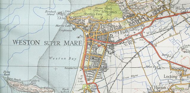
Image:Weston-super-maremap 1946.jpg

From Wikipedia, the free encyclopedia

Wikimedia Commons logo This is a file from the Wikimedia Commons. The description on its description page there is shown below.
Commons is a freely licensed media file repository. You can help.
Description

Map of Weston-super-Mare from 1946 1 inch to the mile new popular edition

Source

OS

Date

1946

Author

OS

Permission
( Reusing this image)

none needed


This work is in the public domain because it is an Ordnance Survey map over 50 years old. Ordnance Survey maps are covered by Crown Copyright which in this case expires 50 years after publication. Ordnance Survey does however ask that they be credited and that the date of publication be given.

Any ancillary rights gained through the creation of the electronic version are granted as freely usable under any circumstances.

Camera location

51°20′51.29″N, 2°58′45.61″W

This and other geocoded Commons images:
( Info)

File history

Click on a date/time to view the file as it appeared at that time.

Date/Time Dimensions User Comment
current 20:48, 1 March 2008 1,687×831 (1.06 MB) Geni ({{Information |Description=Map of Weston-super-Mare from 1946 1 inch to the mile new popular edition |Source=OS |Date=1946 |Author=OS |Permission=none needed |other_versions= }} Category:Weston-super-Mare {{oldOS}})
The following pages on Schools Wikipedia link to this image (list may be incomplete):
The 2008 Wikipedia for Schools was sponsored by a UK Children's Charity, SOS Children UK , and consists of a hand selection from the English Wikipedia articles with only minor deletions (see www.wikipedia.org for details of authors and sources). See also our Disclaimer.