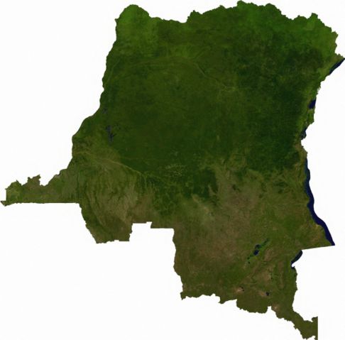
Image:Dem congo sat.jpg
From Wikipedia, the free encyclopedia

Size of this preview: 486 × 479 pixels
Full resolution (2,293 × 2,261 pixels, file size: 3.13 MB, MIME type: image/jpeg)
File history
Click on a date/time to view the file as it appeared at that time.
| Date/Time | Dimensions | User | Comment | |
|---|---|---|---|---|
| current | 01:52, 13 July 2006 | 2,293×2,261 (3.13 MB) | Cwolfsheep | (== Summary == Raster data download July 12, 2006 from The Map Library: exported to TIFF format, and converted to JPEG via Paint.NET. == Licensing == {{PD-MapProject}} ) |
File links
The following pages on Schools Wikipedia link to this image (list may be incomplete):
Metadata
This file contains additional information, probably added from the digital camera or scanner used to create or digitize it. If the file has been modified from its original state, some details may not fully reflect the modified file.
| Width | 2293 |
|---|---|
| Height | 2261 |
| Compression scheme | 5 |
| Pixel composition | RGB |
| Number of components | 3 |
| Number of rows per strip | 8 |
| Horizontal resolution | 300 dpi |
| Vertical resolution | 300 dpi |
| Data arrangement | chunky format |
| Software used | Paint.NET v2.62 |
