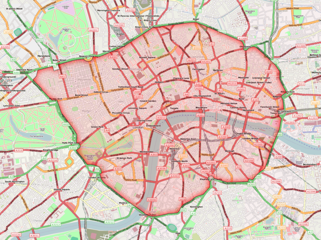
Image:London congestion charge zone.png
From Wikipedia, the free encyclopedia

Size of this preview: 640 × 480 pixels
Full resolution (1,400 × 1,050 pixels, file size: 464 KB, MIME type: image/png)
File history
Click on a date/time to view the file as it appeared at that time.
| Date/Time | Dimensions | User | Comment | |
|---|---|---|---|---|
| current | 10:44, 11 August 2008 | 1,400×1,050 (464 KB) | Ed g2s | (new OSM) |
| 11:09, 14 December 2007 | 1,400×1,050 (471 KB) | Ed g2s | (New OSM map) | |
| 16:31, 2 February 2007 | 1,282×998 (1.07 MB) | Ed g2s | (== Summary == Created by ~~~. Map from http://www.openstreetmap.org (Public Domain) == Licensing == {{self2|GFDL|cc-by-sa-2.5,2.0,1.0}} Category:London congestion charge Category:Maps of London Category:OpenStreetMap maps ) |
File links
The following pages on Schools Wikipedia link to this image (list may be incomplete):