Image:Bristol outline map with UK.png
From Wikipedia, the free encyclopedia

Size of this preview: 432 × 480 pixels
Full resolution (702 × 780 pixels, file size: 170 KB, MIME type: image/png)
Summary
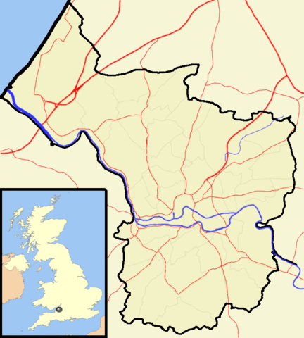
Map of Bristol, from same sources as others on Wikipedia:WikiProject Bristol. This version modified to use Wikipedia:WikiProject UK geography colour scheme and include a map of the UK.
Licensing
|
File history
Click on a date/time to view the file as it appeared at that time.
| Date/Time | Dimensions | User | Comment | |
|---|---|---|---|---|
| current | 15:24, 17 April 2007 | 702×780 (170 KB) | Steinsky ( Talk | contribs) | (Map of Bristol, from same sources as others on Wikipedia:WikiProject Bristol. This version modified to use Wikipedia:WikiProject UK geography colour scheme and include a map of the UK.) |
See the setup instructions for more information.
File links
The following pages on Schools Wikipedia link to this image (list may be incomplete):
Categories: GFDL images | Self-published work
