Image:Jordanhill station open street maps.png
From Wikipedia, the free encyclopedia
Size of this preview: 616 × 480 pixels
Full resolution (724 × 564 pixels, file size: 104 KB, MIME type: image/png)
| |
This is a file from the Wikimedia Commons. The description on its description page there is shown below. |
Summary
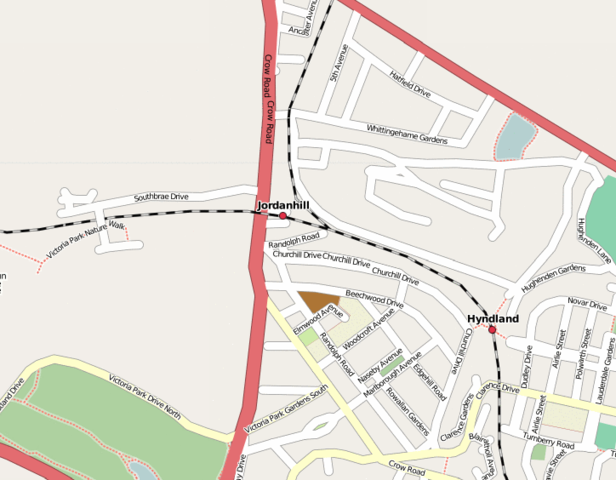
| Description |
Map of Jordanhill station, Glasgow. |
|---|---|
| Source |
CC licenced Open Street Maps |
| Date |
obtained 12 May 2007 |
| Author |
Open Street Maps |
| Permission ( Reusing this image) |
CC licence
|
Licensing
| |
This file is licensed under Creative Commons Attribution 2.0 License |
File history
Click on a date/time to view the file as it appeared at that time.
| Date/Time | Dimensions | User | Comment | |
|---|---|---|---|---|
| current | 03:00, 12 May 2007 | 724×564 (104 KB) | Roke | ({{Information |Description=Map of Jordanhill station, Glasgow. |Source= CC licenced Open Street Maps [http://www.openstreetmap.org/index.html?mlat=55.8333333&mlon=-4.25&zoom=12] |Date= obtained 12 May 2007 |Author= Open Street Maps |Permission= CC licenc) |
File links
The following pages on Schools Wikipedia link to this image (list may be incomplete):