Image:L&bmapimage.jpg
From Wikipedia, the free encyclopedia
Size of this preview: 480 × 479 pixels
Full resolution (902 × 901 pixels, file size: 165 KB, MIME type: image/jpeg)
Summary
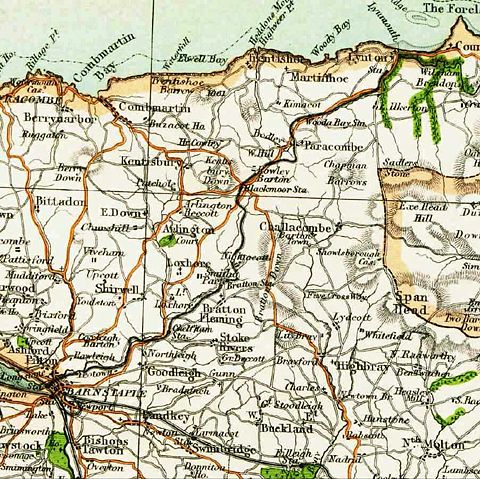
Extract from a 19th Century map of the route of the Lynton & Barnstaple railway (1898-1935)
Licensing
 |
This image is in the public domain in the United States. In most cases, this means that it was first published prior to January 1, 1923 (see the template documentation for more cases). Other jurisdictions may have other rules, and this image might not be in the public domain outside the United States. See Wikipedia:Public domain and Wikipedia:Copyrights for more details. |
File history
Click on a date/time to view the file as it appeared at that time.
| Date/Time | Dimensions | User | Comment | |
|---|---|---|---|---|
| current | 10:46, 8 August 2006 | 902×901 (165 KB) | Lynbarn ( Talk | contribs) | |
| revert | 22:25, 31 December 2005 | 902×901 (153 KB) | Lynbarn ( Talk | contribs) | (Extract from a 19th Century map of the route of the Lynton & Barnstaple railway (1898-1935)) |
See the setup instructions for more information.
File links
The following pages on Schools Wikipedia link to this image (list may be incomplete):
Categories: Images in the public domain in the United States | Railway maps of the United Kingdom