Image:Cornwall outline map with UK.png
From Wikipedia, the free encyclopedia
Size of this preview: 606 × 480 pixels
Full resolution (1,351 × 1,069 pixels, file size: 149 KB, MIME type: image/png)
| |
This is a file from the Wikimedia Commons. The description on its description page there is shown below. |
 |
This Map image should be recreated using vector graphics as an SVG file. This has several advantages; see Commons:Media for cleanup for more information. If an SVG form of this image is already available, please upload it. After uploading an SVG, replace this template with {{ vector version available|new image name.svg}}. |
|
العربية | Български | Català | Česky | Dansk | Deutsch | English | Esperanto | Español | Français | Galego | 한국어 | Italiano | Magyar | Lietuvių | Nederlands | 日本語 | Polski | Português | Română | Русский | Suomi | Svenska | Türkçe | Українська | 中文(繁體) | 中文(简体) | +/- |
|
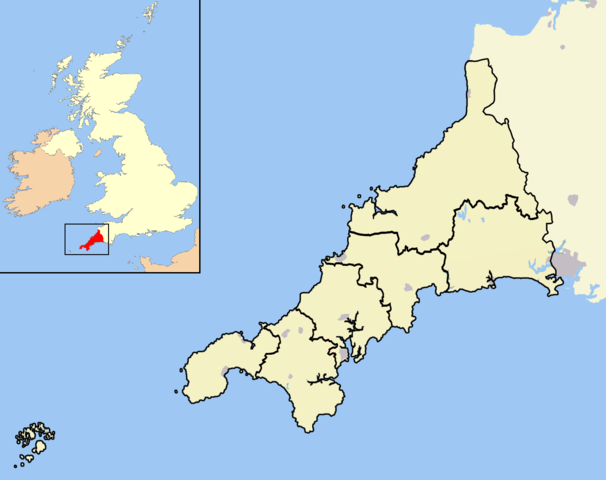
An outline map of Cornwall for use within templates on Wikipedia.
Own work - created 14th April 2007 - coastline and town position data derived from the OpenStreetMap project. District and county boundaries derived from the New Popular Edition Ordnance Survey maps (now out of copyright since more than 50 years have elapsed since publication).
Licensing
|
File history
Click on a date/time to view the file as it appeared at that time.
| Date/Time | Dimensions | User | Comment | |
|---|---|---|---|---|
| current | 14:03, 18 December 2007 | 1,351×1,069 (149 KB) | Jhamez84 | (Standardising some aesthetics) |
| 23:12, 17 April 2007 | 1,351×1,069 (97 KB) | RichardB | ||
| 22:52, 17 April 2007 | 1,300×1,078 (134 KB) | RichardB | ||
| 22:32, 17 April 2007 | 1,361×1,078 (98 KB) | RichardB | ||
| 14:58, 14 April 2007 | 1,546×1,180 (106 KB) | RichardB | ||
| 14:17, 14 April 2007 | 1,546×1,180 (109 KB) | RichardB | (An outline map of Cornwall for use within templates on Wikipedia. Own work - created 14th April 2007 - coastline and town position data derived from the OpenStreetMap project. District and county boundaries derived from the New Popular Edition Ordnance S) |
File links
The following pages on Schools Wikipedia link to this image (list may be incomplete):