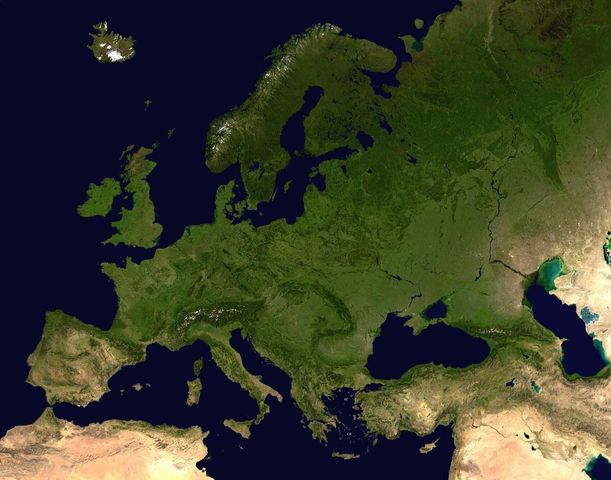
Image:Europe satellite orthographic.jpg
From Wikipedia, the free encyclopedia

Size of this preview: 611 × 480 pixels
Full resolution (1,158 × 909 pixels, file size: 135 KB, MIME type: image/jpeg)
File history
Click on a date/time to view the file as it appeared at that time.
| Date/Time | Dimensions | User | Comment | |
|---|---|---|---|---|
| current | 16:06, 25 November 2005 | 1,158×909 (135 KB) | Wiki-vr | (smaler file size, optimizing sea colour) |
| 14:42, 25 November 2005 | 1,158×884 (222 KB) | Wiki-vr | (much too light areas darkened) | |
| 14:30, 25 November 2005 | 1,158×882 (213 KB) | Wiki-vr | (enhanced (brightness, contrast)) | |
| 10:35, 19 April 2005 | 1,158×909 (257 KB) | Ghalas | (A composed satellite photograph of Europe in orthographic projection This is NASA [http://visibleearth.nasa.gov/view_rec.php?vev1id=11656 "Blue Marble"] image applied as a texture on a sphere u) | |
| 10:25, 19 April 2005 | 1,146×888 (254 KB) | Ghalas | (A composed satellite photograph of Europe in orthographic projection This is NASA [http://visibleearth.nasa.gov/view_rec.php?vev1id=11656 "Blue Marble"] image applied as a texture on a sphere u) |
File links
The following pages on Schools Wikipedia link to this image (list may be incomplete):
Categories: Maps of Europe

