Image:Gyeongjudivs.png
From Wikipedia, the free encyclopedia
Size of this preview: 512 × 480 pixels
Full resolution (1,146 × 1,074 pixels, file size: 47 KB, MIME type: image/png)
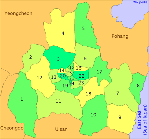
Map of the administrative divisions of Gyeongju, South Korea. Created by User:Visviva, redrawn by Kokiri
| |
Permission is granted to copy, distribute and/or modify this document under the terms of the GNU Free Documentation License, Version 1.2 or any later version published by the Free Software Foundation; with no Invariant Sections, no Front-Cover Texts, and no Back-Cover Texts. Subject to disclaimers. |
File history
Click on a date/time to view the file as it appeared at that time.
| Date/Time | Dimensions | User | Comment | |
|---|---|---|---|---|
| current | 00:14, 6 July 2005 | 1,146×1,074 (47 KB) | Kokiri ( Talk | contribs) | (colouring, what else can I forget?) |
| revert | 00:08, 6 July 2005 | 1,146×1,074 (42 KB) | Kokiri ( Talk | contribs) | (sp) |
| revert | 14:08, 5 July 2005 | 1,144×1,072 (46 KB) | Kokiri ( Talk | contribs) | (fixed frame) |
| revert | 14:05, 5 July 2005 | 1,144×1,072 (46 KB) | Kokiri ( Talk | contribs) | (new version {{GFDL}}) |
| revert | 11:30, 3 July 2005 | 1,160×1,076 (630 KB) | Visviva ( Talk | contribs) | (second fixup.) |
| revert | 11:13, 3 July 2005 | 1,160×1,076 (637 KB) | Visviva ( Talk | contribs) | (corrected dongs.) |
| revert | 10:15, 3 July 2005 | 1,173×1,080 (545 KB) | Visviva ( Talk | contribs) | (Map of the administrative divisions of Gyeongju, South Korea. Created by User:Visviva. {{PD}}) |
See the setup instructions for more information.
File links
The following pages on Schools Wikipedia link to this image (list may be incomplete):