Image:LocationAmericas.png
From Wikipedia, the free encyclopedia
Size of this preview: 640 × 326 pixels
Full resolution (2,759 × 1,404 pixels, file size: 99 KB, MIME type: image/png)
| |
This is a file from the Wikimedia Commons. The description on its description page there is shown below. |
Summary
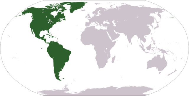
Español: Ubicación de América
World map depicting America; map adapted from PDF world map at CIA World Fact Book
Licensing
 |
This image is in the public domain because it contains materials that originally came from the United States Central Intelligence Agency's World Factbook. Deutsch | English | Español | Français | 日本語 | Nederlands | 한국어 | Português | தமிழ் | Magyar | +/- |
 |
File history
Click on a date/time to view the file as it appeared at that time.
| Date/Time | Dimensions | User | Comment | |
|---|---|---|---|---|
| current | 12:31, 19 January 2008 | 2,759×1,404 (99 KB) | F l a n k e r | (Transparency) |
| 19:11, 12 October 2005 | 2,759×1,404 (55 KB) | E Pluribus Anthony | (World map: Americas (location)) | |
| 15:06, 29 April 2005 | 1,377×699 (16 KB) | Ghalas | (Extracted from CIA World Factbook PDF world map, then rasterized and colored. {{PD-USGov-CIA-WF}}) |
File links
The following pages on Schools Wikipedia link to this image (list may be incomplete):