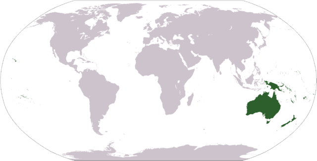
Image:LocationOceania.png
From Wikipedia, the free encyclopedia

Size of this preview: 640 × 326 pixels
Full resolution (2,759 × 1,404 pixels, file size: 98 KB, MIME type: image/png)
File history
Click on a date/time to view the file as it appeared at that time.
| Date/Time | Dimensions | User | Comment | |
|---|---|---|---|---|
| current | 02:38, 15 March 2008 | 2,759×1,404 (98 KB) | Corticopious | (Reverted to version as of 12:42, 19 January 2008) |
| 14:42, 10 February 2008 | 2,759×1,404 (161 KB) | Luis wiki | ({{PD-USGov-CIA-WF}}) | |
| 12:42, 19 January 2008 | 2,759×1,404 (98 KB) | F l a n k e r | (Transparency) | |
| 13:43, 1 October 2006 | 2,759×1,404 (55 KB) | Cogito ergo sumo | (World map: Oceania (location)) | |
| 21:08, 2 September 2006 | 2,759×1,404 (55 KB) | Cogito ergo sumo | (World map: Oceania (location)) | |
| 07:35, 30 January 2006 | 2,759×1,404 (55 KB) | E Pluribus Anthony | (World map: Oceania (location)) | |
| 17:05, 10 October 2005 | 2,759×1,404 (55 KB) | Carlosar | (Oceania's place in the world. Category:Continent locator maps) |
File links
The following pages on Schools Wikipedia link to this image (list may be incomplete):
Categories: Maps of Oceania

