Image:LocationPolarRegions.png
From Wikipedia, the free encyclopedia
Size of this preview: 640 × 326 pixels
Full resolution (2,759 × 1,404 pixels, file size: 51 KB, MIME type: image/png)
| |
This is a file from the Wikimedia Commons. The description on its description page there is shown below. |
Summary
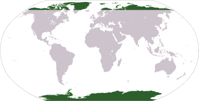
Map indicating the world's polar regions (i.e. Antarctica and area within Arctic Circle), based on Image:LocationAntarctica.png.
Licensing
 |
This image is in the public domain because it contains materials that originally came from the United States Central Intelligence Agency's World Factbook. Deutsch | English | Español | Français | 日本語 | Nederlands | 한국어 | Português | தமிழ் | Magyar | +/- |
 |
File history
Click on a date/time to view the file as it appeared at that time.
| Date/Time | Dimensions | User | Comment | |
|---|---|---|---|---|
| current | 04:31, 31 March 2006 | 2,759×1,404 (51 KB) | E Pluribus Anthony | (Map indicating the world's polar regions (i.e. Antarctica and area within Arctic Circle), derived on Image:LocationAntarctica.png) |
| 03:42, 31 March 2006 | 2,759×1,404 (55 KB) | David Kernow | (Map indicating the world's polar regions (i.e. Antarctica and area within Arctic Circle), derived on Image:LocationAntarctica.png. ) |
File links
The following pages on Schools Wikipedia link to this image (list may be incomplete):