Image:Location map China.png
From Wikipedia, the free encyclopedia
Size of this preview: 640 × 446 pixels
Full resolution (800 × 558 pixels, file size: 142 KB, MIME type: image/png)
| |
This is a file from the Wikimedia Commons. The description on its description page there is shown below. |
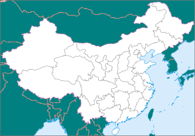
Map of China, originally in the equirectangular projection (equidistant cylindrical projection, or plate carrée), but stretched vetically 1,2 times (for better appearance). Cropped by 1 degree lines (73° - 135° E, 18° - 54° N).
| Description |
for Template:Location map |
|---|---|
| Source |
adapted from Image:China-equirect.png |
| Date |
June 2007 |
| Author |
Koryakov Yuri adapted by Blofeld |
| Permission ( Reusing this image) |
see below
|
Licensing
|

File history
Click on a date/time to view the file as it appeared at that time.
| Date/Time | Dimensions | User | Comment | |
|---|---|---|---|---|
| current | 12:24, 10 June 2008 | 800×558 (142 KB) | KAVO | ({{Information |Description= |Source= |Date= |Author= |Permission= |other_versions= }}) |
| 14:08, 29 May 2008 | 800×558 (142 KB) | KAVO | ({{Information |Description= |Source= |Date= |Author= |Permission= |other_versions= }} ) | |
| 12:37, 25 May 2008 | 800×558 (145 KB) | Ernst Stavro Blofeld | (Map of China, originally in the equirectangular projection (equidistant cylindrical projection, or plate carrée), but stretched vetically 1,2 times (for better appearance). Cropped by 1 degree lines (73° - 135° E,) |
File links