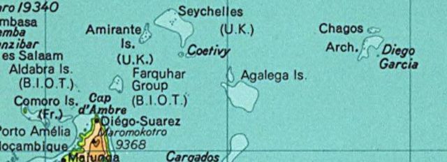
Image:SeychellesBIOT1970.jpg
From Wikipedia, the free encyclopedia

Size of this preview: 640 × 232 pixels
Full resolution (780 × 283 pixels, file size: 72 KB, MIME type: image/jpeg)
File history
Click on a date/time to view the file as it appeared at that time.
| Date/Time | Dimensions | User | Comment | |
|---|---|---|---|---|
| current | 02:01, 13 August 2005 | 780×283 (72 KB) | Hoshie | (Map of the Seychelles and British Indian Ocean Territory piror to 1976. From the National Atlas as mirrored by the [http://www.lib.utexas.edu/maps/ PCL]. {{PD-USGov-Atlas}} {{PD-PCL|http://www.lib.utexas.edu/maps/national_atlas_1970/ca000244_large.jpg}}) |
File links
The following pages on Schools Wikipedia link to this image (list may be incomplete):

