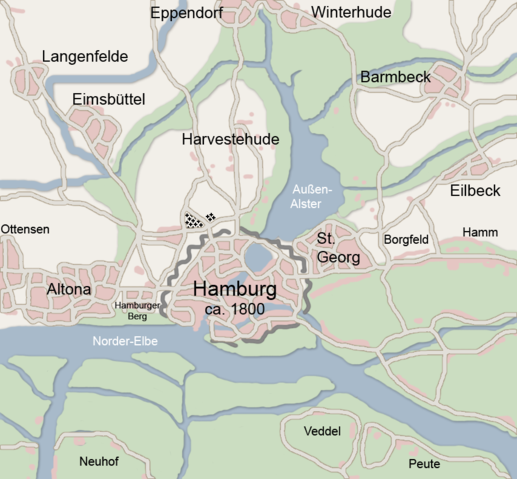
Image:Map hamburg 1800.png
From Wikipedia, the free encyclopedia

Size of this preview: 517 × 479 pixels
Full resolution (854 × 792 pixels, file size: 390 KB, MIME type: image/png)
File history
Click on a date/time to view the file as it appeared at that time.
| Date/Time | Dimensions | User | Comment | |
|---|---|---|---|---|
| current | 15:12, 17 February 2007 | 854×792 (390 KB) | Flor!an | ({{Information |Description= Karte von Hamburg und Umgebung ca. 1800 |Source= own work |Date=17.02.2007 |Author= |other_versions= }} Alte Version nachgezeichnet, dezentere Farben verwendet.) |
| 18:14, 4 June 2005 | 854×792 (56 KB) | Ctsu | ({{PD}} created myself from atlas) | |
| 17:28, 2 June 2005 | 854×792 (55 KB) | Ctsu | (own creation from atlas) | |
| 19:33, 1 June 2005 | 854×792 (53 KB) | Ctsu | (own creation from atlas) | |
| 19:28, 1 June 2005 | 854×792 (53 KB) | Ctsu | (own drawing from atlas) |
File links
The following pages on Schools Wikipedia link to this image (list may be incomplete):
