Image:Map Canada political.png
From Wikipedia, the free encyclopedia
Size of this preview: 555 × 480 pixels
Full resolution (1,280 × 1,107 pixels, file size: 245 KB, MIME type: image/png)
| |
This is a file from the Wikimedia Commons. The description on its description page there is shown below. |
Licensing
 |
This image has been (or is hereby) released into the public domain by its author, E Pluribus Anthony at the English Wikipedia project. This applies worldwide. In case this is not legally possible: |
File history
Click on a date/time to view the file as it appeared at that time.
| Date/Time | Dimensions | User | Comment | |
|---|---|---|---|---|
| current | 02:50, 13 June 2007 | 1,280×1,107 (245 KB) | Andrew pmk | (optimize png ) |
| 01:38, 6 June 2007 | 1,280×1,107 (245 KB) | Andrew pmk | (optimize png ) | |
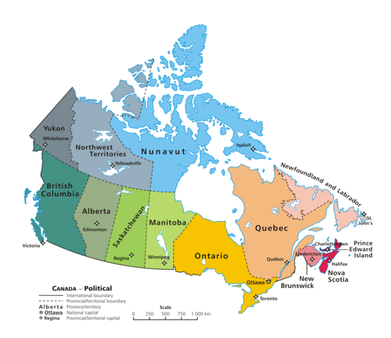
| 09:35, 6 June 2006 | 1,280×1,107 (296 KB) | Kaveh | (== Summary == Canada: political map – depicting |provinces/territories and capital cities. Drawn and adapted by E Pluribus Anthony from [http://atlas.gc.ca/site/english/maps/reference/national/can_political_e Atlas ) |
File links
The following pages on Schools Wikipedia link to this image (list may be incomplete):