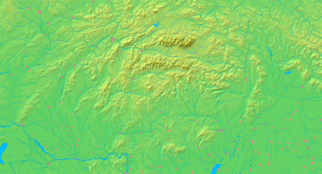
Image:Slovakia - background map.png
From Wikipedia, the free encyclopedia

Size of this preview: 640 × 345 pixels
Full resolution (1,170 × 630 pixels, file size: 1.32 MB, MIME type: image/png)
File history
Click on a date/time to view the file as it appeared at that time.
| Date/Time | Dimensions | User | Comment | |
|---|---|---|---|---|
| current | 19:07, 8 September 2007 | 1,170×630 (1.32 MB) | Caroig | (better version) |
| 18:10, 8 September 2007 | 1,170×630 (1.31 MB) | Caroig | ||
| 17:04, 3 September 2007 | 2,340×1,259 (1.61 MB) | Caroig | (== Summary == {{Information |Description=Background map of Slovakia, for Geoboxes, the same boundaries as Image:Slovakia - outline map.svg |Source=Made my myself from free maps available at www.demis.nl |Date=2007-09-03 |Autho) |
File links
The following pages on Schools Wikipedia link to this image (list may be incomplete):
