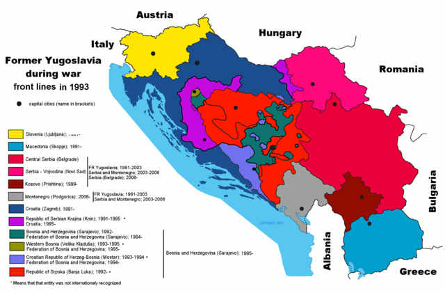
Image:Former Yugoslavia wartime 1.PNG
From Wikipedia, the free encyclopedia
Size of this preview: 640 × 421 pixels
Full resolution (1,887 × 1,242 pixels, file size: 95 KB, MIME type: image/png)
| Slovenia | |||
| Vojvodina | |
||
| Serbia | |||
| Kosovo | |||
| Republika Srpska | |||
| Republic of Serbian Krajina | |
||
| Croatia | |||
| Croatian Republic of Herzeg-Bosnia | |
||
| Federation of Bosnia and Herzegovina | |||
| Republic of Western Bosnia | |
||
| Republic of Macedonia | |||
| Montenegro | |||
| Bosnia and Herzegovina |
See Also
 Animation |
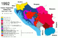
 1992 |
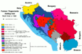
 1993 |
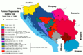 1995 |
Summary
Map of former Yugoslavia during last wars. War political entities in Croatia and Bosnia-Herzegovia are marked. Author: Paweł Goleniowski (swPawel)
Licensing
|
|
|
The Wikimedia Commons has another file with the same name as this file. To include the Commons media file in Wikipedia, this locally stored file needs to be renamed. | |
File history
Click on a date/time to view the file as it appeared at that time.
| Date/Time | Dimensions | User | Comment | |
|---|---|---|---|---|
| current | 11:19, 10 August 2008 | 1,887×1,242 (95 KB) | Ceha ( Talk | contribs) | (Changed front lines around Bihać. See http://en.wikipedia.org/wiki/Image:Western_Bosnia_1994.png) |
| revert | 00:05, 6 September 2006 | 1,887×1,242 (95 KB) | Ceha ( Talk | contribs) |
See the setup instructions for more information.
File links
The following pages on Schools Wikipedia link to this image (list may be incomplete):
Categories: Creative Commons Attribution 2.5 images | Self-published work | Maps of the history of the Balkans | Maps of Yugoslavia