Image:Anatahan.jpg
From Wikipedia, the free encyclopedia

No higher resolution available.
Anatahan.jpg (640 × 400 pixels, file size: 29 KB, MIME type: image/jpeg)
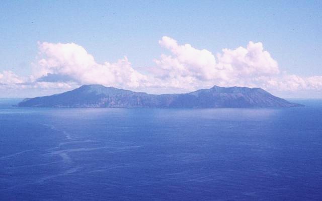
Anatahan Island, Northern Mariana Islands, Pacific Ocean
Photo courtesy of U. S. Geological Survey, 1994
 |
This image is a work of a United States Geological Survey employee, taken or made during the course of the person's official duties. As a work of the United States Government, the image is in the public domain. For more information, see the USGS copyright policy. See Wikipedia:Public domain and Wikipedia:Copyrights for more details. | |
| |
A different image is available on the Wikimedia Commons with the same name, Image:Anatahan.jpg. Consider deleting this image if it is simply a lower-quality version of the one on the Commons. |
|
File history
Click on a date/time to view the file as it appeared at that time.
| Date/Time | Dimensions | User | Comment | |
|---|---|---|---|---|
| current | 12:43, 12 August 2005 | 640×400 (29 KB) | Darwinek ( Talk | contribs) |
See the setup instructions for more information.
File links
The following file is a duplicate of this file:
The following pages on Schools Wikipedia link to this image (list may be incomplete):
Metadata
This file contains additional information, probably added from the digital camera or scanner used to create or digitize it. If the file has been modified from its original state, some details may not fully reflect the modified file.
| Orientation | Normal |
|---|---|
| Horizontal resolution | 72 dpi |
| Vertical resolution | 72 dpi |
| Y and C positioning | 1 |
| Exif version | 2 |
| Colour space | sRGB |
Categories: USGS images | Images with a different image under the same name on Wikimedia Commons