Image:LocationGuadeloupe.png
From Wikipedia, the free encyclopedia
No higher resolution available.
LocationGuadeloupe.png (445 × 342 pixels, file size: 11 KB, MIME type: image/png)
| |
This is a file from the Wikimedia Commons. The description on its description page there is shown below. |
 |
This map image should be recreated using vector graphics as an SVG file. This has several advantages; see Commons:Media for cleanup for more information. If an SVG form of this image is already available, please upload it. After uploading an SVG, replace this template with {{ vector version available|new image name.svg}}. |
|
العربية | Български | Català | Česky | Dansk | Deutsch | English | Esperanto | Español | Français | Galego | 한국어 | Italiano | Magyar | Lietuvių | Nederlands | 日本語 | Polski | Português | Română | Русский | Suomi | Svenska | Türkçe | Українська | 中文(繁體) | 中文(简体) | +/- |
|
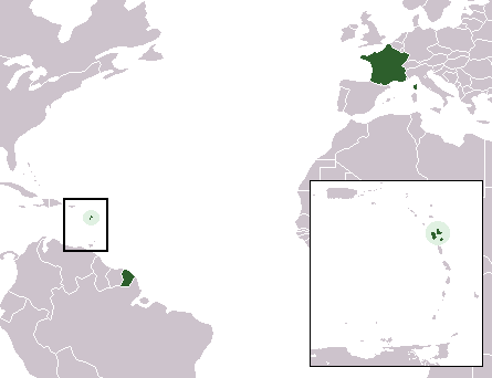
- Description: Locator map of Guadeloupe
- Source: Wikipedia En
Uploaded on 20 October 2005.
|
NOTE: "subject to disclaimers" below may not actually apply, this was tagged with {{ GFDL-user-en}}, and after May 2007, w:en:Template:GFDL-self did not require disclaimers. Please check the image description page on the English Wikipedia (or, if it has been deleted, ask an English Wikipedia administrator). See Wikipedia:GFDL standardization for details. |
|||
|
|||
|
Note: This tag should not be used. For images that were released on the English Wikipedia using either GFDL or GFDL-self with disclaimers, use {{ GFDL-user-en-with-disclaimers}}. For images without disclaimers please use {{ GFDL-user-en-no-disclaimers}} instead. If you are the copyright holder of files that were released on Wikipedia consider removing the disclaimers. |

File history
Click on a date/time to view the file as it appeared at that time.
| Date/Time | Dimensions | User | Comment | |
|---|---|---|---|---|
| current | 07:10, 2 March 2007 | 445×342 (11 KB) | Hoshie | (update to remove St.-Barth and St.-Martin, now COMs. added Montenegro to Europe.) |
| 10:37, 8 January 2006 | 445×342 (7 KB) | *drew | (*Description: Locator map of Guadeloupe *Source: Wikipedia En {{GFDL}}) |