Image:Guadeloupe map.png
From Wikipedia, the free encyclopedia
No higher resolution available.
Guadeloupe_map.png (315 × 337 pixels, file size: 10 KB, MIME type: image/png)
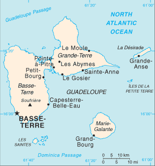
Map of the French overseas département of Guadeloupe from the CIA World Factbook. https://www.cia.gov/cia/publications/factbook/geos/gp.html
 |
This image is a map or flag taken and/or modified from the Central Intelligence Agency's World Factbook. Under United States copyright law, all information and images from the World Factbook are in the public domain. | |
|
|
The Wikimedia Commons has another file with the same name as this file. To include the Commons media file in Wikipedia, this locally stored file needs to be renamed. | |
File history
Click on a date/time to view the file as it appeared at that time.
| Date/Time | Dimensions | User | Comment | |
|---|---|---|---|---|
| current | 07:58, 18 October 2007 | 315×337 (10 KB) | Hoshie ( Talk | contribs) | (removed note on St. Martin and St. Barthelemy, as they are no longer part of Guadeloupe.) |
| revert | 03:56, 3 June 2005 | 315×337 (10 KB) | Carl Henderson ( Talk | contribs) | (Map of the French overseas département of Guadeloupe from the CIA World Factbook. http://www.cia.gov/cia/publications/factbook/geos/gp.html {{PD-USGov-CIA-WF}}) |
See the setup instructions for more information.
File links
The following pages on Schools Wikipedia link to this image (list may be incomplete):
Categories: CIA World Factbook images | Maps of Guadeloupe