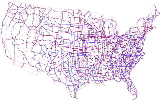
Image:Map of current US Routes.svg
From Wikipedia, the free encyclopedia

Map_of_current_US_Routes.svg (SVG file, nominally 689 × 432 pixels, file size: 943 KB)
File history
Click on a date/time to view the file as it appeared at that time.
| Date/Time | Dimensions | User | Comment | |
|---|---|---|---|---|
| current | 00:38, 14 July 2006 | 689×432 (943 KB) | SPUI | (missed the east part of 412) |
| 21:18, 13 July 2006 | 689×432 (943 KB) | SPUI | (oops... forgot the alternates) | |
| 20:47, 13 July 2006 | 689×432 (934 KB) | SPUI | (forgot a piece of 14A in Wyoming, also added Interstates) | |
| 14:08, 13 July 2006 | 689×432 (600 KB) | SPUI | (thinner state lines) | |
| 14:03, 13 July 2006 | 690×432 (600 KB) | SPUI | (white background and green alternates) | |
| 13:57, 13 July 2006 | 690×432 (485 KB) | SPUI | ({{spuimap}}) |
File links
The following pages on Schools Wikipedia link to this image (list may be incomplete):
