Image:Malawi-map-blank.png
From Wikipedia, the free encyclopedia
Size of this preview: 222 × 479 pixels
Full resolution (332 × 717 pixels, file size: 13 KB, MIME type: image/png)
| |
This is a file from the Wikimedia Commons. The description on its description page there is shown below. |
| Description |
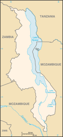
Locator map of Malawi blanked by Bemoeial2 |
|---|---|
| Source |
CIA world fact book |
| Date |
15:47, 3 August 2007 (UTC) |
| Author |
Bemoeial2 |
| Permission ( Reusing this image) |
PD |
| Other versions | image:Mi-map.png |
 |
This image is in the public domain because it contains materials that originally came from the United States Central Intelligence Agency's World Factbook. Deutsch | English | Español | Français | 日本語 | Nederlands | 한국어 | Português | தமிழ் | Magyar | +/- |
 |
File history
Click on a date/time to view the file as it appeared at that time.
| Date/Time | Dimensions | User | Comment | |
|---|---|---|---|---|
| current | 15:47, 3 August 2007 | 332×717 (13 KB) | Bemoeial2 | ({{Information |Description=Locator map of Malawi blanked by ~~~ |Source=CIA world fact book |Date=~~~~~ |Author=~~~ |Permission=PD |other_versions= image:Mi-map.png }} {{PD-USGov-CIA-WF}} Category:Maps of Malawi ) |
File links
The following pages on Schools Wikipedia link to this image (list may be incomplete):