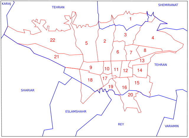
Image:Administrative map of Tehran.svg
From Wikipedia, the free encyclopedia

Administrative_map_of_Tehran.svg (SVG file, nominally 743 × 540 pixels, file size: 36 KB)
File history
Click on a date/time to view the file as it appeared at that time.
| Date/Time | Dimensions | User | Comment | |
|---|---|---|---|---|
| current | 10:46, 9 February 2007 | 743×540 (36 KB) | Fabienkhan | |
| 10:43, 9 February 2007 | 744×1,052 (36 KB) | Fabienkhan | ||
| 10:42, 9 February 2007 | 744×1,052 (36 KB) | Fabienkhan | (<div style="height:8px; border:1px solid #8898BF; -moz-border-radius-topleft:8px; -moz-border-radius-topright:8px; background:#C8D8FF; font-size:1px;"> </div> <div style="margin-bottom:1.5em; border:1px solid #8898BF; border-top:0; padding:5px; background) |
File links
The following pages on Schools Wikipedia link to this image (list may be incomplete):
