Image:Map of dnieper battle grand.jpg
From Wikipedia, the free encyclopedia

Size of this preview: 630 × 480 pixels
Full resolution (1,256 × 956 pixels, file size: 177 KB, MIME type: image/jpeg)
Summary
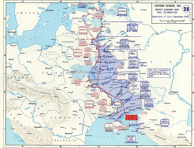
Map of the Dnieper battle and connected operations in 1943
Licensing
File history
Click on a date/time to view the file as it appeared at that time.
| Date/Time | Dimensions | User | Comment | |
|---|---|---|---|---|
| current | 15:32, 22 April 2006 | 1,256×956 (177 KB) | Grafikm fr ( Talk | contribs) | (Map of the Dnieper battle and connected operations in 1943) |
See the setup instructions for more information.
File links
The following file is a duplicate of this file:
The following pages on Schools Wikipedia link to this image (list may be incomplete):
Categories: United States government images | Maps of World War II

