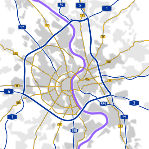
Image:Koelner Ring.png
From Wikipedia, the free encyclopedia

Size of this preview: 480 × 480 pixels
Full resolution (1,200 × 1,200 pixels, file size: 150 KB, MIME type: image/png)
File history
Click on a date/time to view the file as it appeared at that time.
| Date/Time | Dimensions | User | Comment | |
|---|---|---|---|---|
| current | 13:23, 14 January 2006 | 1,200×1,200 (150 KB) | Qualle | (Added Cologne city limits & eastern part of B55) |
| 21:15, 12 January 2006 | 1,200×1,200 (154 KB) | Qualle | ({{Deutsch}} Karte der Autobahnen und Bundesstraßen in und um Köln - '''Kölner Ring''' {{English}} Map of the Autobahns and Federal Roads in the Cologne area) |
File links
The following pages on Schools Wikipedia link to this image (list may be incomplete):
