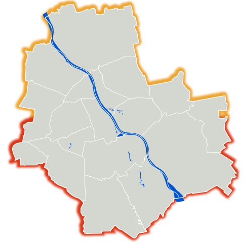
Image:Warszawa outline with districts v2.svg
From Wikipedia, the free encyclopedia

Warszawa_outline_with_districts_v2.svg (SVG file, nominally 1,065 × 1,063 pixels, file size: 62 KB)
File history
Click on a date/time to view the file as it appeared at that time.
| Date/Time | Dimensions | User | Comment | |
|---|---|---|---|---|
| current | 23:15, 6 March 2007 | 1,065×1,063 (62 KB) | Mfloryan | |
| 22:59, 6 March 2007 | 1,065×1,063 (61 KB) | Mfloryan | ({{Information |Description={{pl|Mapa warszawy z zaznaczonym podziałem administracyjnym na tle barw miasta}}{{en|An outline of Warsaw and its administrative divisions}} |Source=own work {{Inkscape}} |Date=2007-03-05 |Author=[[User:Mfloryan|Marcin Floryan]) |
File links
The following pages on Schools Wikipedia link to this image (list may be incomplete):
