Image:Reverie ms river s.jpg
From Wikipedia, the free encyclopedia

No higher resolution available.
Reverie_ms_river_s.jpg (640 × 480 pixels, file size: 151 KB, MIME type: image/jpeg)
Summary
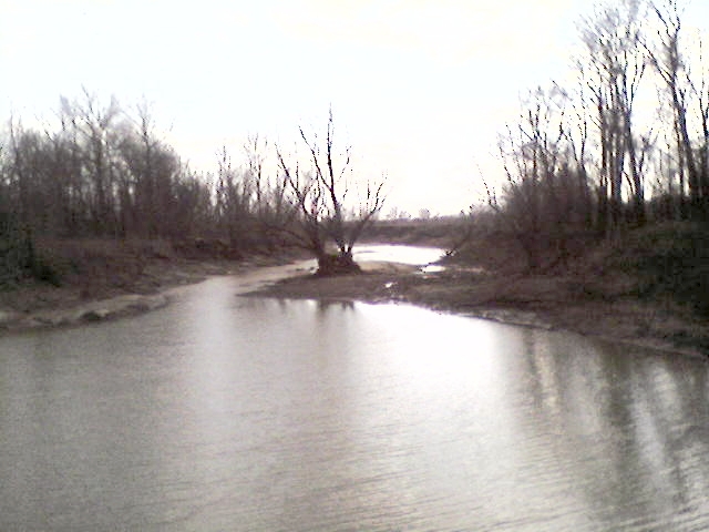
Image shows a view to the South of the old bed of the Mississippi River before the 1811/1812 earthquakes. Photo was taken just east of the TN/AR stateline near Reverie, Tennessee and Wilson, Arkansas. I took the photo myself, feel free to use it.
Date of photo: Feb. 2007
Taken by: Thomas R Machnitzki
website: http://nutbush.machnitzki.com
Licensing
 |
I, the copyright holder of this work, hereby grant the permission to copy, distribute and/or modify this document under the terms of the GNU Free Documentation License, Version 1.2 or any later version published by the Free Software Foundation; with no Invariant Sections, no Front-Cover Texts, and no Back-Cover Texts. |
File history
Click on a date/time to view the file as it appeared at that time.
| Date/Time | Dimensions | User | Comment | |
|---|---|---|---|---|
| current | 21:47, 27 February 2007 | 640×480 (151 KB) | DoxTxob ( Talk | contribs) | (Image shows a view to the South of the old bed of the Misssissippi River before the 1811/1812 earthquakes. Photo was taken just east of the TN/AR stateline near Reverie, TN. I took the photo myself, feel free to use it. Date of photo: Feb. 2007 Taken by:) |
See the setup instructions for more information.
File links
The following pages on Schools Wikipedia link to this image (list may be incomplete):
Categories: Self-published work | GFDL images | Images of Tennessee | Images of Arkansas