Image:Wire Centre Locations.png
From Wikipedia, the free encyclopedia
Size of this preview: 621 × 480 pixels
Full resolution (1,056 × 816 pixels, file size: 79 KB, MIME type: image/png)
Summary
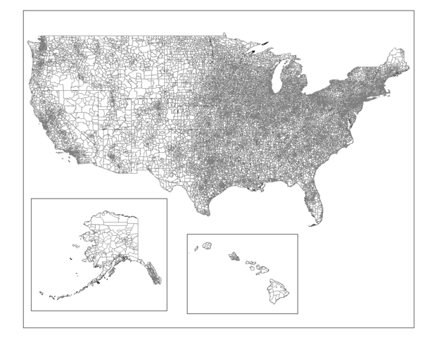
Map of the wire centre locations in the United States. Created by Rarelibra 17:55, 26 October 2006 (UTC) for public domain use, using MapInfo Professional v8.5 and various mapping resources.
Licensing
 |
I, the copyright holder of this work, hereby release it into the public domain. This applies worldwide. In case this is not legally possible, |
File history
Click on a date/time to view the file as it appeared at that time.
| Date/Time | Dimensions | User | Comment | |
|---|---|---|---|---|
| current | 17:55, 26 October 2006 | 1,056×816 (79 KB) | Rarelibra ( Talk | contribs) | (Map of the wire centre locations in the United States. Created by ~~~~ for public domain use, using MapInfo Professional v8.5 and various mapping resources. ) |
See the setup instructions for more information.
File links
The following pages on Schools Wikipedia link to this image (list may be incomplete):
Categories: User-created public domain images | Telecommunications maps